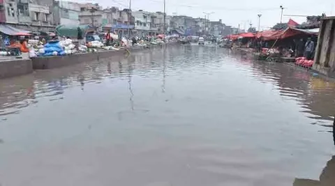
The Leh Nullah flood risk has once again become a matter of serious public concern as monsoon rains continue to batter Rawalpindi and Islamabad. Authorities have confirmed that large sections of the Leh Nullah remain choked with silt, garbage and illegal construction, raising fears of flash flooding in low-lying neighbourhoods. At the same time, the Capital Development Authority has stepped up its Islamabad nullah encroachments demolition campaign, targeting illegal structures built along the city’s storm drains that originate from the Margalla Hills. Background Nullah Leh is an eighteen to twenty…
Read MoreLeh Nullah Flood Risk Map: Islamabad Nullah Encroachments Demolition Drive Intensifies Ahead of Monsoon